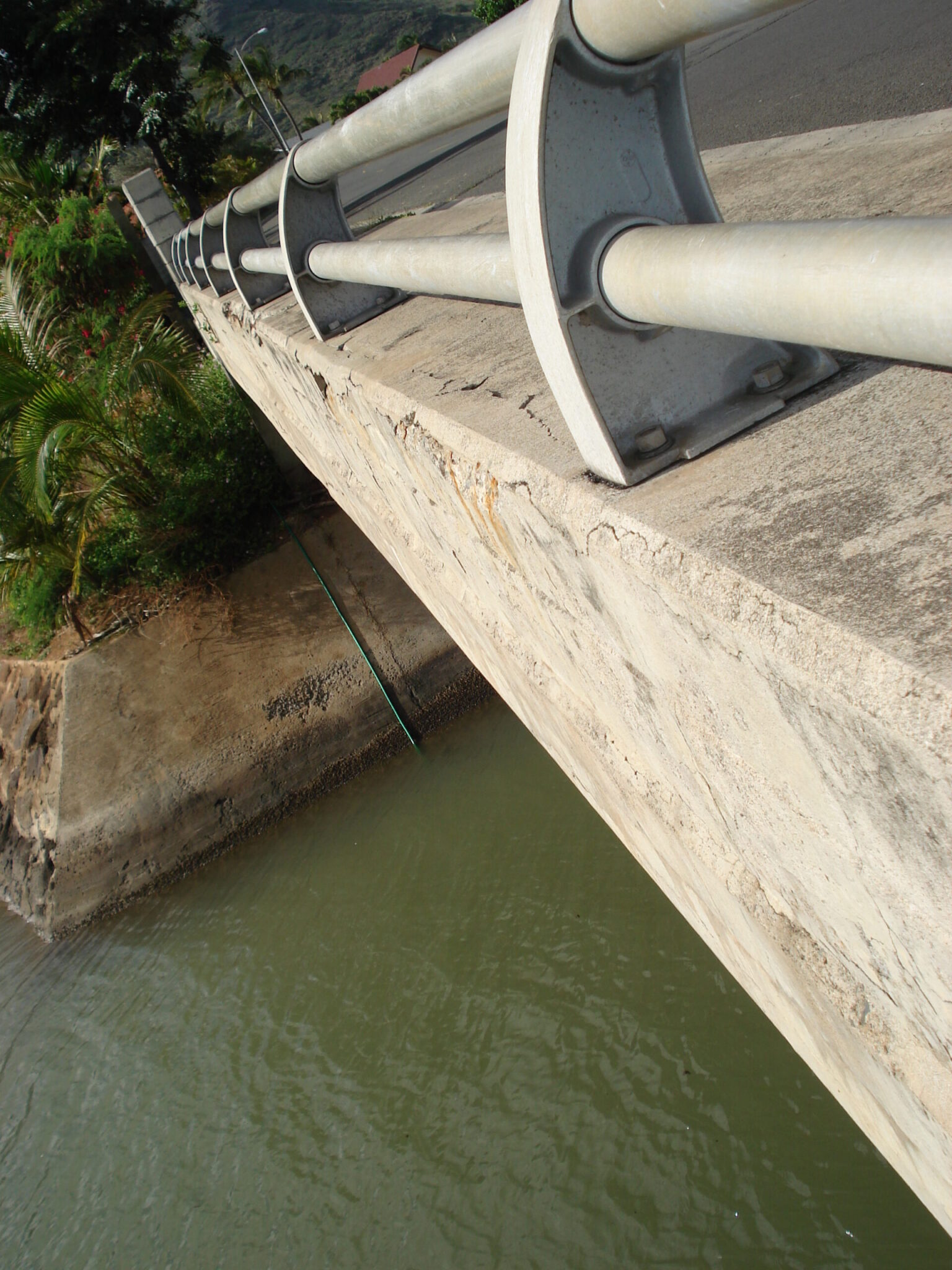
HEG owns and operates several UAVs to perform topographic surveys, create orthographic maps, simulate watershed runoffs, and generate 3D models. This allows us to view areas that are otherwise inaccessible or dangerous to reach, such as building facades requiring spall repair or the undersides of bridges over waterways, and perform assessments on the structural condition of existing structures.
HEG provides the following types of aerial surveying services:
- Topographic surveying & mapping
- Point cloud generation
- Orthomosaic maps
- High-Resolution aerial imagery
- Watershed simulation
- 3D Models