hawaii engineering group
Land Surveying
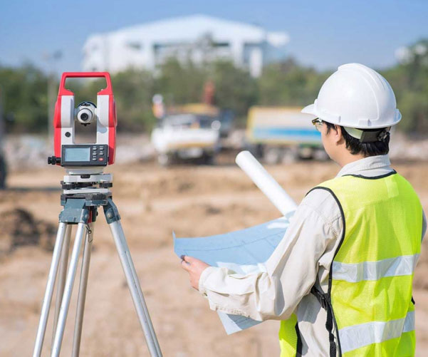
Our Honolulu, Hawaii based land surveying division provides topographic, boundary, subdivision, ALTA, shoreline certification, elevation certificates (1A & 2C), and construction layout surveying and mapping services. We also do horizontal and vertical movement monitoring.
Our survey team uses Topcon SX10 Scanning Total Station, Topcon S-9 Robotic Total Station, Spectra Precision SP85 GNSS System, and Topcon or Sokia digital levels for survey projects. All data is recorded in Trimble T-10 Tablet or TSC7 data collector. Our personnel have over 30 years of surveying experience and have certificates for 40 hours of HAZWOPER training. Our Cad Technicians have over 30 years of surveying drafting experience.

