hawaii engineering group
Aerial Surveying
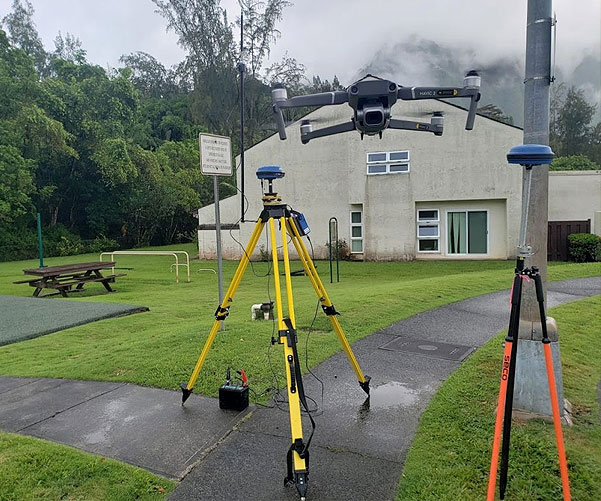
HEG provides a range of services for aerial surveying, utilizing advanced technology to capture high-quality data for various applications. Some of the key services offered by our Honolulu, Hawaii based company are:
- Topographic Surveying & Mapping
Creating accurate topographic maps for land development, engineering design, and environmental assessments. - Point Cloud Generation
Generating 3D point clouds of terrain, buildings, and other features for mapping and analysis. - Orthomosaic Maps
Creating high-resolution orthomosaic maps for urban planning, land management, and environmental assessments. - High-Resolution Aerial Imagery
Capturing high-quality aerial imagery for various applications, such as real estate marketing and infrastructure planning. - Watershed Simulation
Simulating watershed models for flood risk assessment, water resource evaluation, and land use planning. - 3D Models
Creating 3D models of terrain, buildings, and other features for visualization, engineering design, and urban planning.

Waimanalo Flood Control Channel
HEG recently performed an aerial survey of the Waimanalo Flood Control Channel. Capturing point clouds and aligning them with NOAA’s LIDAR data allowed HEG to simulate the watershed from nearby mountains, create a detailed topographic map, and form a high-resolution map overlay for drawings.